
Mars Global Surveyor Magnetic Field Experiment
Tectonic implications of Mars crustal magnetism
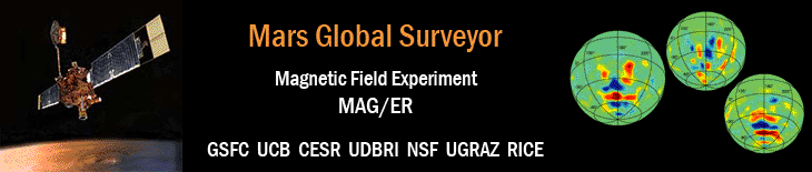
Figure 1
Connerney, J.E.P., M.H. Acuña, N.F. Ness, G. Kletetschka, D.L. Mitchell, R.P. Lin, and H. Rème
Proceedings of the National Academy of Sciences,
Vol. 102, Iss. 42, pp. 14970-14975, doi: 10.1073/pnas.0507469102,
18 Oct 2005.

Figure 1: Map of the magnetic field of Mars observed by the Mars Global Surveyor satellite at a nominal 400 km altitude. Each pixel is colored according to the median value of the filtered radial magnetic field component observed within the 1° by 1° latitude/longitude range represented by the pixel. Colors are assigned in 12 steps spanning two orders of magnitude variation. Where the field falls below the minimum contour a shaded MOLA topography relief map provides context. Contours of constant elevation (-4, -2, 0, 2, 4 km elevation) are superimposed, as are dashed lines representing rotations about common axes (short dashed, axis northeast of Elysium Mons; long dashed, axis northeast of Hellas).
- NASA Official: Ron Oliversen
- Email: Ronald.J.Oliversen@nasa.gov
- Curator: Patricia Lawton, ADNET Systems, Inc.
- Email: Patricia.J.Lawton@nasa.gov
- Last Modified: 18 January 2017